Monday, July 29, 2013

Another Trip To Zion National Park


 Observation Point Hike
(Go Here to view my previous post on Zion National Park)


The Trail


The Observation Point Hike is challenging but is in my opinion the most enjoyable hike in the park. 

There is a really good trail description here if you would like more details:


Tuesday, July 23, 2013

Lake Blanche


 Lake Blanche 


It is fairly easy to find the trail head.  There are lots of descriptions online of how to get there but i just searched for "Lake Blanche" in Google maps on my phone and it led me right to the parking lot.  Form the parking lot you follow a paved oath along the river and you see the trail head marker on the right.

Once you start on the path it is almost a straight shot to the lake.  As you can see in the picture the hike is only 2.8 miles but with the elevation gain of 2700+ feet, it is a long 2.8 miles. Moving at a quick pace with a few short breaks it took me 1.5 hours to reach the lake.


Although much of the trail is bordered by shrubs and trees there are still some great views looking back down the canyon.  The trial is well maintained but there are still some spots where the trail is crowded over by bushes on the sides.  The trail also had a lot of insect activity. (bring insect repellent especially for when you reach the lakes)


The trail also has a lot of wildflowers.  I did the hike in late July and there is likely to be even more earlier in the year. There was also a lot of wildlife along the trail. I was there early in the morning and that my have been why.


The elevation gain is steady and there are only a few level parts of the trail.  Make sure to bring plenty of water for the hike. Just before arriving at the lake you will go through an area that has the names of past visitors from just months ago to a hundred years ago.  The destination is just over the ridge from this point.  My suggestion is to go early.  I left the parking lot at 5:45 and I had the whole trail and lake to myself.  The only other people I saw were on their way up as I was hiking back down.  The hike back down took me actually more time than the way up.  It is hard on the knees going back down because of the constant and quick elevation drop. Another reason to go early is because the side of the canyon that the trail is on was still in the shade when I hiked back down. I would definitely recommend this hike.  Although it is strenuous, the destination is well worth it.
 

Lake Florence

Lake Florence

Lake Florence

Lake Lillian

Lake Lillian


Wednesday, May 22, 2013

Cathedral Valley - Capitol Reef National Park


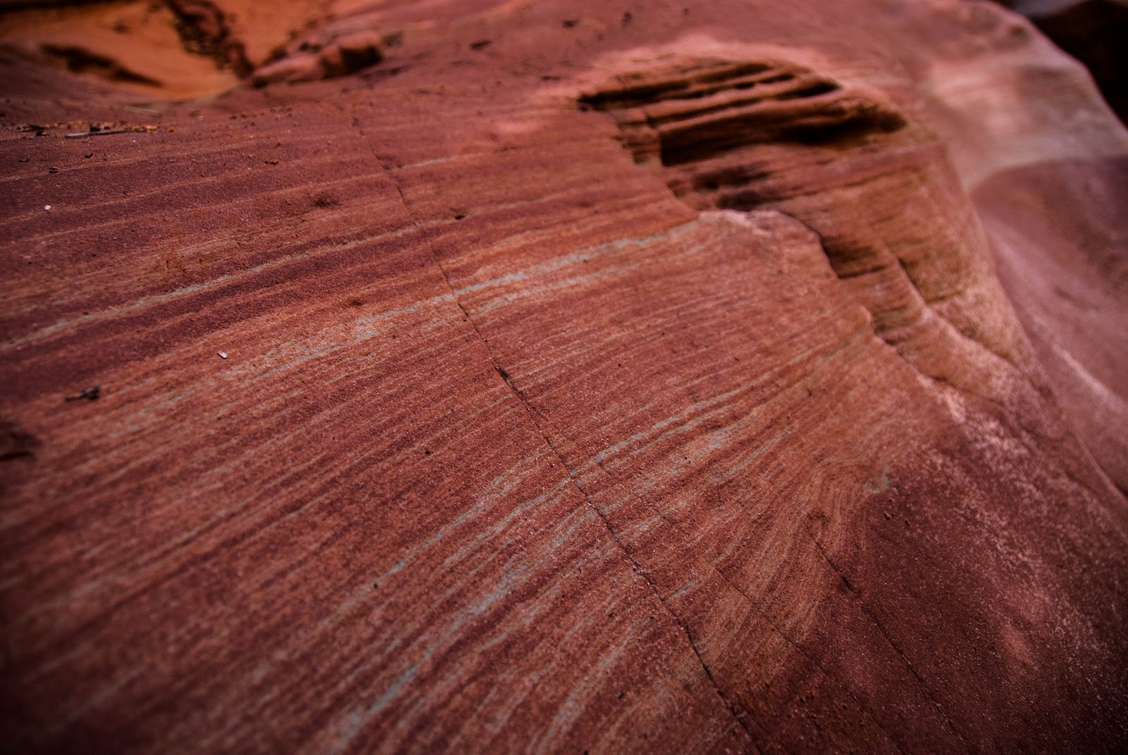
The 60 mile loop through Cathedral Valley is an amazingly diverse landscape.  The geological formations are incredible to view and even though it is very spread out, it is well worth time time it takes to drive. 

The loop has two different entrances. One has a river crossing and is less accessible and the other is more accessible   Both however will still require a high clearance vehicle.  There are many riverbed crossings and in the early spring there will be water in them at times but the main river crossing is the first one.   


It was actually a lot easier than expected especially since we went int he spring and that is when the river can be at its highest.  It was only a few feed deep and the jeep had not trouble getting through it.  I read online that when you enter the river it is best to stay close to the right hand side and then take a sharp turn across when you get to the landing.  I went back and forth over the river a few times (for fun and to pick the camera man back up) and took different routes.  It was easiest to go straight across at the landing but if you have a 4x4 with good clearance then you should be ok no matter what route you take.  
The picture below was taken when the river was pretty much at its deepest point.  


There is a lot of open space on the drive and a lot of cows! There is a lot of sand as well so it didn't help with  the MPG (make sure to fill up before you start the loop and bring extra gas just in case) but the 4x4 v8 came in handy on a few of the hills.  There was evidence of a few vehicles who had some trouble getting up the bigger hills with how deep the sand was in some areas.  

For those of you who are thinking "the loop is only 60 miles so why is having enough gas an issue?"... the guy who owned this car was probably thinking the same thing


On this side of the valley there is an impressive view of the South Desert.  


We took the drive slow and enjoyed our time. There are a few hikes you can do along the way as well if you have the time. Half way through the loop there is a nicely developed campground that is free and is available on a first come-first serve basis.  We were the only people there that night (we only say 2 other cars the entire time we were on the loop.


Close to the campground (on a turnout before you get to the campground)  there is a cool overlook that is just a short hike.  


The next morning we drove to the Gypsum Sink Hole. but on the way we took the detour to an old cowboy cabin that is still in good condition.  It was full of artifacts from the area and was cool to visit.


Then on to the sinkhole...  It is a HUGE feature.  In the picture you can see how small my shadow is compared to the hole and it took multiple shots from my wide angle lens to capture the entire thing.  Be carefull along the edge as the dirt is loose and there is no barrier to keep you back.  


The main attractions in the valley are the "cathedrals" themselves.  The picture below is of the temple of the sun an glass mountain.


San Rafael Swell Utah Part 3 (Crack Canyon)


San Rafael Swell Utah Part 3 (Crack Canyon)


First off you will want to have an OHV (off highway vehicle) or plan on a lot of extra walking. The last mile or so of road (if you can call it that) is really just an old river bed.  There isn't really too much that is really big but definitely not for cars that have low clearance. There are a few steep parts where 4wd would come in handy as well.  


Once you get to the canyon itself it is quite impressive.  It isn't too narrow at first but as you get into it deeper then you get more of the "slot canyon" feel.  There are a few obstacles that you will have to maneuver in order to continue.  The further you go in the more difficult they get so plan accordingly. 


There were also some sections of the canyon that, depending on the time of year, will have as much as a few feet of water along the bottom.  They can be maneuvered without getting wet but it is tricky.


Monday, April 1, 2013

San Rafael Swell Part 2 (Goblin Valley Area)


Wildhorse window A.K.A the Eye of Sinbad


Wildhorse window is a natural bridge associated with a large window.  You get to the window after about a mile hike off the road that leads into Goblin Valley State Park in Utah.  It is visible from the road but doesn't look nearly as impressive as it does when you get up close.  The trail is somewhat difficult to find and also to follow although it is marked by a series of stacks of rocks that past hikers have left.  There are a few different sites that have descriptions of the trail and how to find the window.  The site I used was http://www.utah.com/hike/wild-horse-window-trail.  Someone had used the rocks marking the trail head to make a fire pit but we destroyed the fire pit and rebuilt the marker.  


At first we didn't even see these but they are on the right hand side of the cave (when entering in)


There wasn't really a train up to where we wanted to go but we just navigated our way up and around and it was well worth the time we took to get there


This is the view from the cavern next to the main window


There are some minor obstacles on the way there and back.  The water will likely be gone in early summer but if you go before then be sure to wear shoes you don't mind getting wet.  Or just take the time and effort to navigate around the pools.  There are also a few sheer drop-offs along the trail so be sure to be careful as you hike to and from the window.